The Early Settlers of the Conemaugh Country
In the 1790s, the Johnstown area was an unsettled wilderness. The Goughnour brothers—Peter, Daniel, and Christian—moved into the area in 1798. They were among the first pioneers to settle in Conemaugh Country. This article, published in the Johnstown Tribune in 1856, provides a vivid picture of life for these pioneers.
Peter Goughnour’s Recollections
Peter Goughnour, born in Maryland in 1773, died in Conemaugh Township in 1855. He left behind a statement detailing his early recollections of “the Conemaugh country.” Unfortunately, no authentic history exists regarding the early settlers and settlements of the Conemaugh area. To help fill this gap, we compile noteworthy facts from Mr. Goughnour’s statement.
According to Goughnour, Samuel and Solomon Adams were the first white settlers in the Conemaugh country. They settled around 1785 when Indians—who hunted and fished along the Conemaugh and Stonycreek—were quite numerous. Samuel Adams lived on Sam’s Run, approximately two miles south of the confluence of the two streams, which derived its name from him. Solomon’s cabin sat midway between the junction of the Conemaugh and Stonycreek and his brother’s cabin, giving Solomon’s Run its name. A tragic confrontation occurred when Samuel Adams and an Indian warrior fought each other with knives near a white oak tree on Sandy Run, about five miles from the junction. They ultimately killed each other, and their bodies were buried in a single grave beneath the tree.
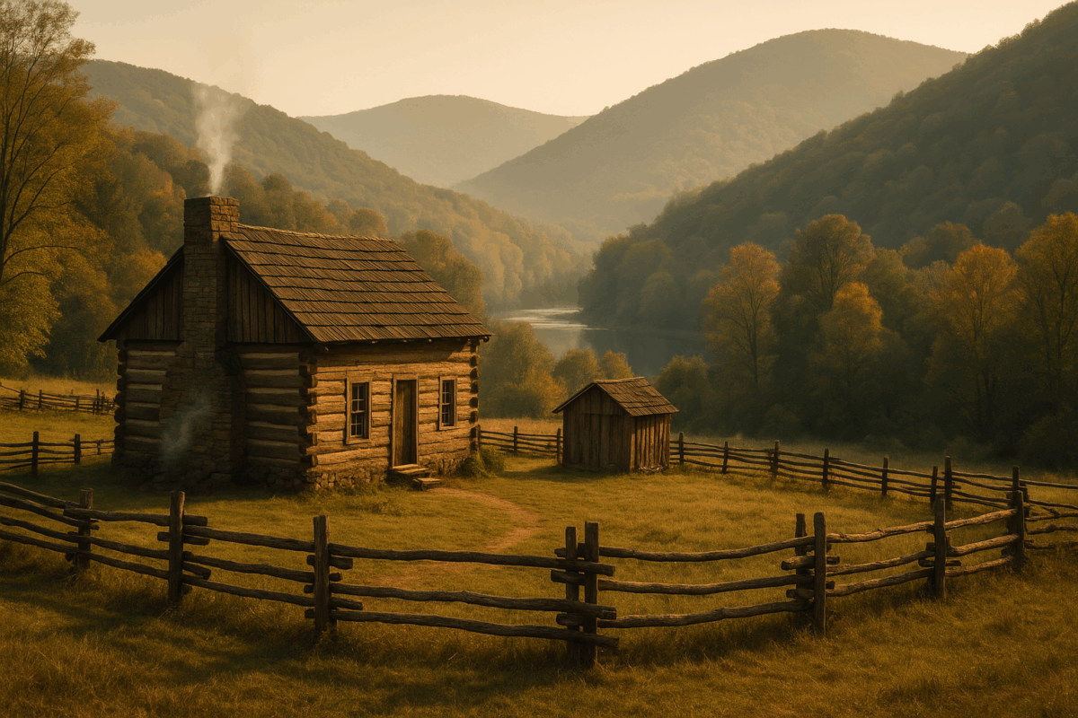
Life in the Wilderness
Goughnour settled in what is now Conemaugh Township in 1798. At that time, Cambria County remained largely unknown to geographers. By the date of his arrival, the Indians had already departed from their Conemaugh hunting grounds. However, Goughnour discovered heaps of stones marking Indian graves, flint arrows, elk horns, and other relics of their presence. A few of these stone heaps still stand near the banks of the Stonycreek above Johnstown.
In 1794, Jacob Stutzman occupied the Conemaugh bottom, now the site of Johnstown, which was known as Oldtown. Stutzman claimed the title of the first white man to inhabit the bottom. Tragically, one of his sons died in an accident involving an ox-team startled by a rattlesnake. They buried the boy’s body on the left bank of the Stonycreek, where Water Street in Kernville now lies.
Founding of Johnstown
Joseph Johns, also known as Schantz, was a member of the Amish community. He laid out Conemaugh Bottom into town lots in 1800. Goughnour, Joseph Francis, Ludwig Wissinger, and other early settlers assisted him. They originally named the town Conemaugh-town, but it became commonly known as Johnstown. John lived to an advanced age before he died in Conemaugh Township.
Dr. Anderson and William Hartley opened the first store in the new town, while Isaac Proctor initiated the second. During this time, the necessities of life cost significantly more than they do today. Coffee, pepper, allspice, and ginger each cost 50 cents per pound. People paid 50 cents for shad and $5 per bushel for salt—wheat sold for $2 per bushel, with other prices reflecting similar rates. Wages ranged from 40 to 50 cents per day.
Challenges of Pioneer Life
At that time, no roads connected the wilderness to older settlements, and settlers relied solely on canoes for navigating the streams. Domestic animals were rare, yet wild beasts like panthers, wolves, and bears prowled around the pioneers’ cabins at night. Despite these threats, the first settlers enjoyed hunting and fishing, as the forests burst with game and the clear streams brimmed with fish. Deer roamed the land freely.
The lush bottoms surrounding Conemaugh-town boasted a wild and picturesque appearance. The hills, adorned with majestic forests untouched by an axe, presented a grand sight. Pea vines, wild sunflowers, grapevines, and many native plants flourished among the giant oaks, spruces, and hickories. For its first settlers, the Conemaugh country appeared like a paradise fifty years prior.
The Struggles of Settlers
Despite the beauty, pioneers faced significant hardships. Among the tall grass grew a noxious weed resembling garlic, called ramps, which sickened cows that ate it, halting the supply of milk and butter. The grass failed to produce good hay for reasons unknown, leading to poor winter conditions for cattle. To prevent their cattle from starving, settlers resorted to cutting down trees for the cattle to browse on the buds and young branches. Women played a crucial role in clearing land for farming and survival.